Earth observation and geoscience
Applying machine learning to satellite imagery and climate data
Earth observation and geoscience
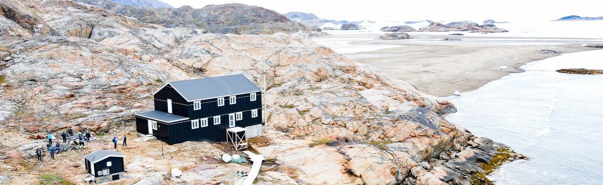
One of the great things about machine learning algorithms is that they can be applied to so many different fields and problems, that’s one of the main reasons why working with them is so fascinating. Due to my passion for mountains, snow and remote areas like Greenland or Svalbard, linking them with geoscience and glaciology was kind of obvious for me.
Thus I’m very excited about my collaboration with Jakob Abermann and other members of the Climate Change in Mountain Regions research group at the Institute of Geography and Regional Science with focus on the application of deep learning algorithms to geoscience. Also see our FWF funded research project Weg_RE about centennial climate drivers of glacier changes in Greenland.
Evaluation of satellite data
In 2018 together with Thomas Gölles I also co-founded our start-up company ATSEDA AB in Sweden, where we started with providing data science services for industry applications and later changed our focus entirely to evaluations of satellite imagery and climate data based on time series and neural networks.
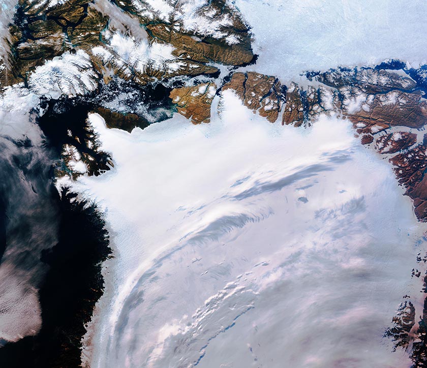
Northwest Greenland captured by the Copernicus Sentinel-3 mission, © ESA.
We were able to get funding in Austria for the further development of our ideas, a corresponding FFG research project is currently carried out again at the Institute of Geography and Regional Science.